Public Lands with Potential for Housing Development
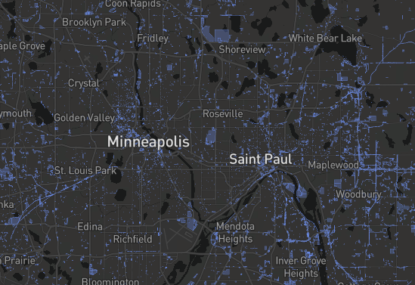
Surplus and vacant publicly-owned land parcels offer unique opportunities for affordable housing development and should be utilized by local governments to add to the housing supply. To help communities identify public lands that are ripe for housing development, Family Housing Fund worked with Visible City to create a map of public lands in the Twin Cities region.
To further enable new housing development, this map tool allows users to filter for parcels that meet the funding criteria and priorities of Minnesota Housing’s Qualified Allocation Plan, as well as other qualities that may be of interest such as proximity to Opportunity Zones and parks. Information on data sources, methodology, and instructions for use are available within the online map.